
")
")
Geoinformation systems, Geographic Information Systems (GIS) or Spatial Information Systems (RIS) are systems of information for the acquisition, processing, organization, analysis and presentation of spatial data. By using the corresponding hardware, software, data and applications as found in the civil area (transport, agriculture, climate...) and in the military. The current conflict in Ukraine in particular, in which all involved parties rely on a constant flow of data, GI - systems are gaining massive significance. Civil drones, as seen in the ongoing conflict with Russia, in combination with a powerful AI, complementing satellite imagery, will determine victory or defeat at certain points. For this purpose, the EU has launched the INSPIRE initiative within the civilian sphere. INSPIRE is short for "Infrastructure for Spatial Information in the European Community". Simultaneously to the European system, India has also implemented a powerful system, which is already used in the military context. It is called INDIGIS, or Geographical Information System for Military and Commercial Applications, and it has been designed by the Center for Artificial Intelligence and Robotics (CAIR). In addition to the military use of the rapidly evolving technology, which will be important for all future conflicts, the civilian sector, in particular autonomous driving within the various gradations, is gaining particular importance. The Indian company MicroGenesis, cooperation partner of Oannes Consulting GmbH, has signed an agreement with the Indian Ministry of Defence and the Center for Artificial Intelligence and Robotics (CAIR) to cooperate and transfer technology more intensively in the direction of defence and civilian applications.
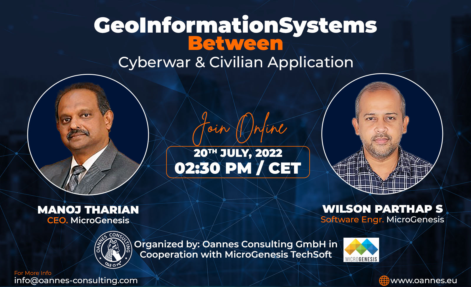
- Opening and welcome by Simon Jacob, CEO Oannes Consulting.
- Greeting by Manoj Tharian, CEO MicroGeneis
- A Speech by Wilson Prathaps, Software Engineer Micro Genesis, approx. 30 minutes
- B Questions and answers, approx. 10 minutes

